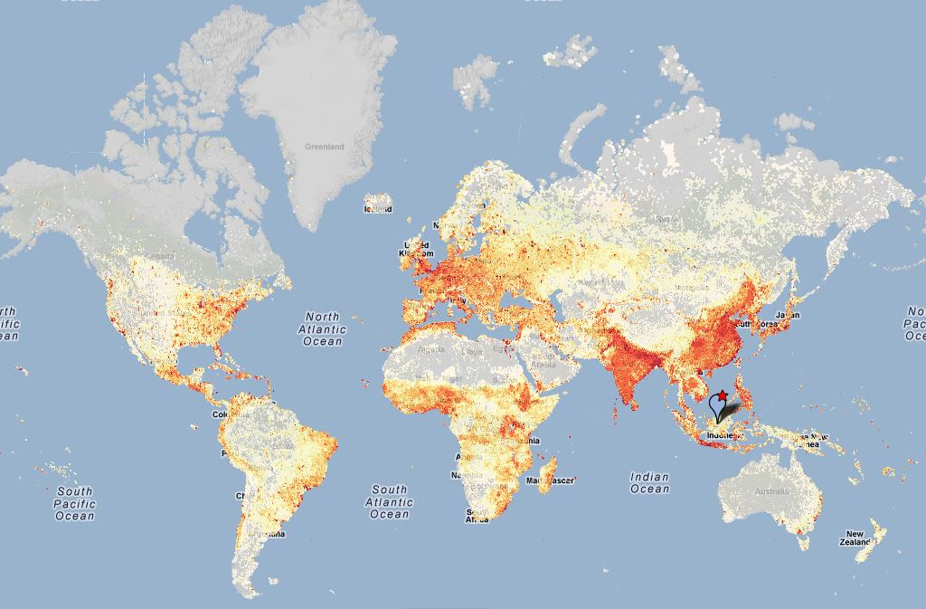
Population Density (LandScan 2007)
Citation Information
Title: Population Density (LandScan 2007)
Source: Oak Ridge National Laboratory
Date: 2008
Citations:
- Oak Ridge National Laboratory. 2008. LandScan Global Population Database (2007 release). Oak Ridge, TN, USA. [online] URL: http://www.ornl.gov/sci/landscan.
- Dobson JE, Bright EA, Coleman PR, Durfree RC, Worley BA (2000) LandScan: a global population database for estimating populations at risk. Photogramm Eng Rem S 66: 849–57.
Description
Population density (people km-2) based on LandScan 2007. Native resolution is 30 arc second projected in Geographic Coordinate System WGS 1984.
Data Transformation
The data was transformed with the logarithm of base 10 to reduce skew and improve visualization.
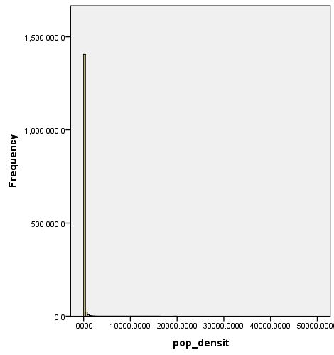
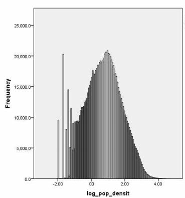
The raw population density (left) compared with the log-transformed population density.
Processing Procedure
LandScan 2007 is the reference data raster to process all other input data.
Data Coverage
N/A/.