Accessibility
Citation Information
Title: Accessibility
Source: Nelson, A.
Date: 2008
Citation: Nelson, A. 2008. Estimated travel time to the nearest city of 50,000 or more people in year 2000. Global Environment Monitoring Unit – Joint Research Centre of the European Commission, Ispra Italy. [online] URL: http://bioval.jrc.ec.europa.eu/products/gam/download.htm
Description
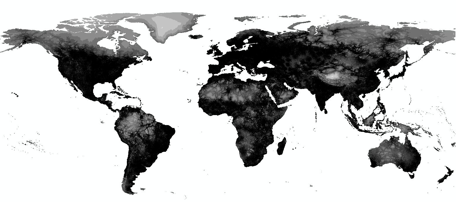
Global grid of access time to a city of 50,000 or larger (year 2000). Native resolution is 5 arc minute projected in Geographic Coordinate System WGS 1984.
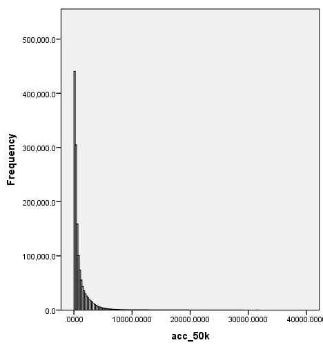
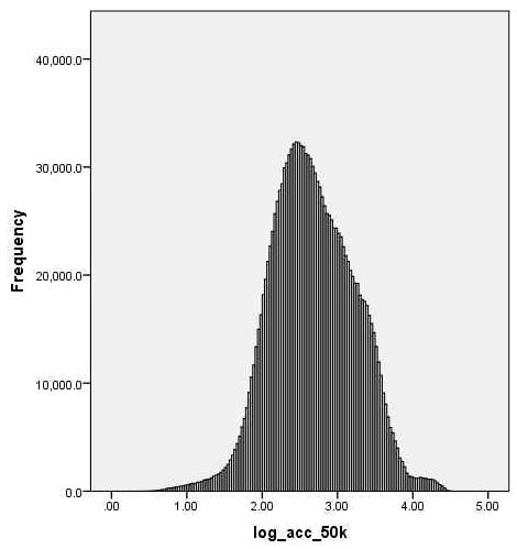
Raw accessibility (left) transformed into the logarithm of base 10 of accessibility (right).
Processing Procedure
1. In ArcMap 10.0, convert native data to 30 arc second resolution.
2. Extrapolate existing data using a 30×30 cell rectangular neighborhood.
3. Use zonal statistics to calculate mean values within each GLU.
Data Coverage
Data is coded by the number of cells covered by the native data (1), data extrapolation (2), and not covered by either (3).
| DGG Cell Coverage Codes | |||||
| Coverage Codes | Frequency | Percent | Valid Percent | Cumulative Percent | |
| Valid | 1 | 1373879 | 95.1 | 95.1 | 95.1 |
| 2 | 70242 | 4.9 | 4.9 | 99.9 | |
| 3 | 843 | .1 | .1 | 100.0 | |
| Total | 1444964 | 100.0 | 100.0 | ||